Photogrammetry, or Aerial Photogrammetry (Aerophotogrammetry) is a technique used for topographical mapping. Photogrammetry is currently one of the most precise, reliable, and also cheapest methods of acquiring data about an area. It is a very useful way to examine changes in a region. This method has been used in many fields, ranging from architecture to engineering, from geology to archaeology, and from police operations to cinematography.
The latest advance has been to replace expensive helicopters and planes with RPAs (remotely piloted aircraft), which allow one to monitor and survey the territory from above and then transform the resulting data into 3D maps and images with centimetre accuracy. In addition to offering a more affordable solution, these RPAs allow one to carry out surveys in inaccessible terrain, and can complete the work in a significantly shorter time. They enable one to map an area with the same precision as traditional topography, but in a shorter time than conventional methods such as GPS.
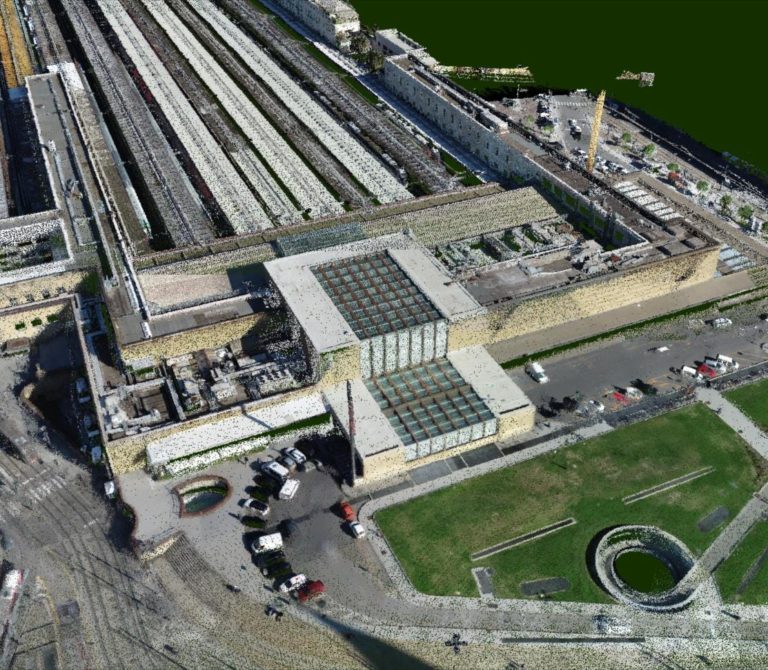
Aerial photogrammetric survey with Drone
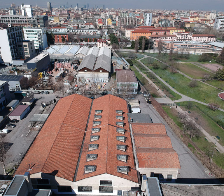
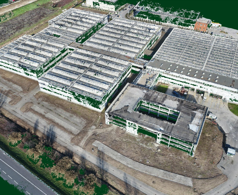
Unmanned aerial photogrammetric survey of a production site in Milan