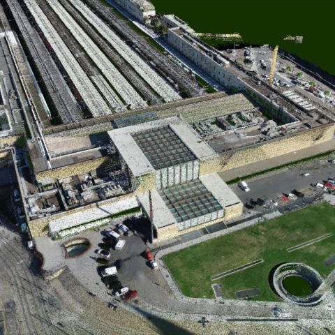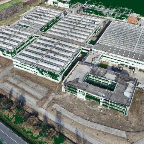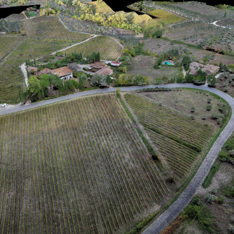
Topographic and Photogrammetric surveys with Drones
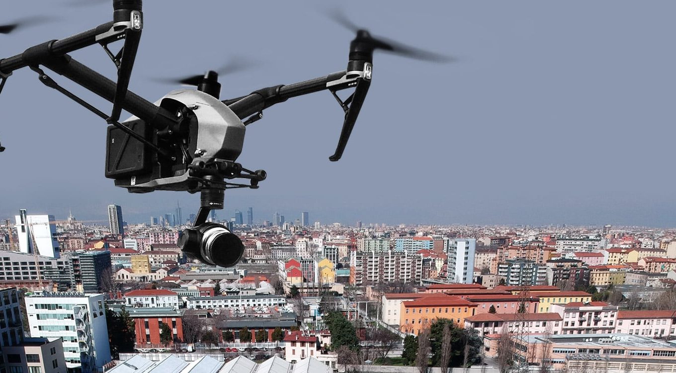
GaiaGroup, a leading company in the field of Drone surveys, uses the most advanced measuring instruments and is able to perform Topographic and Aerial Photogrammetric Surveys.
For data acquisition, GaiaGroup uses latest generation systems.
In the post-processing phase, GaiaGroup generates 3D point cloud models and solid 3D models in CAD format, extrapolated from Photogrammetry.