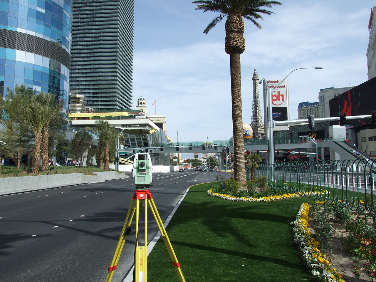
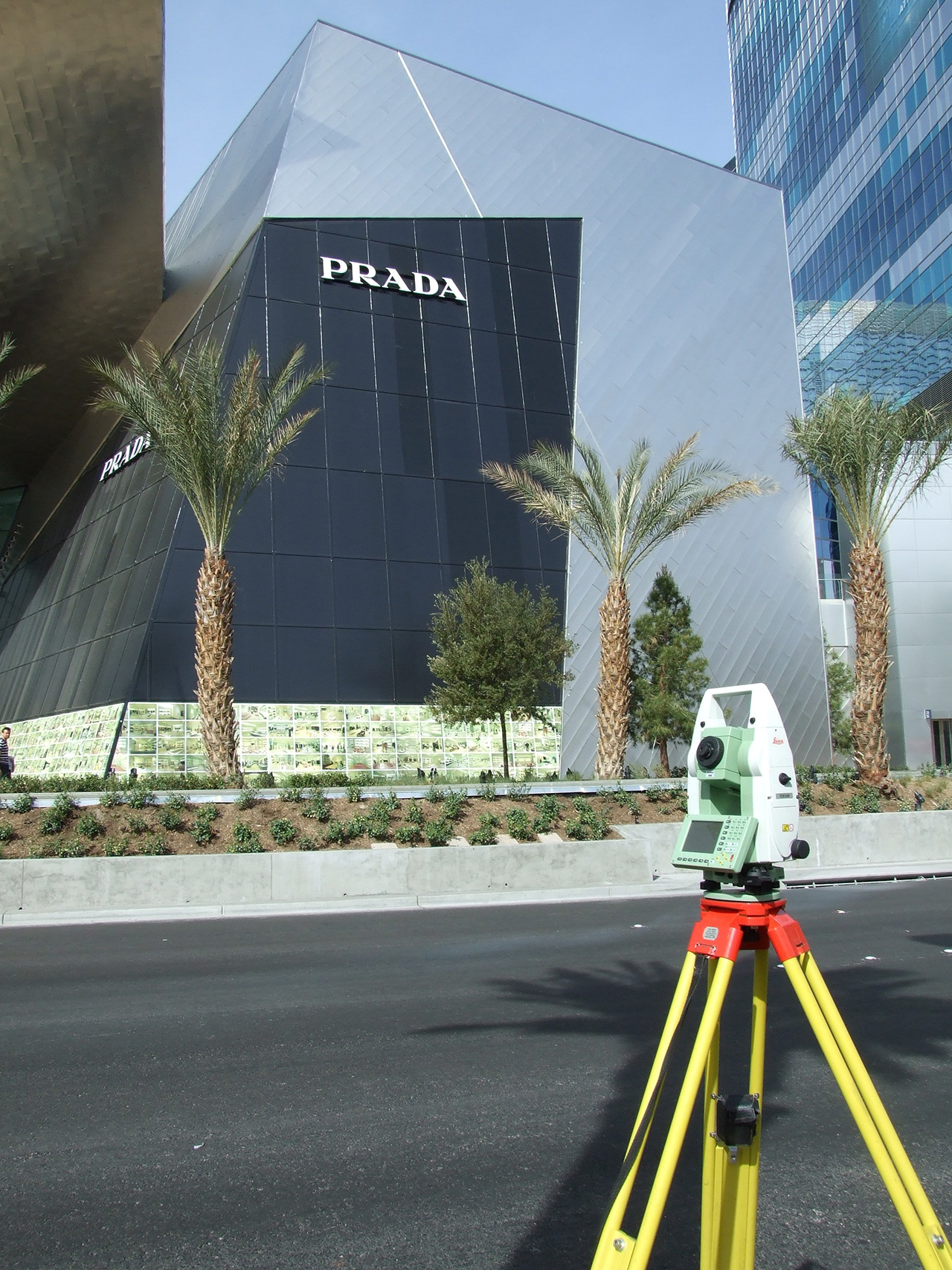
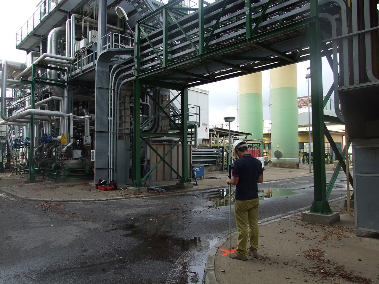
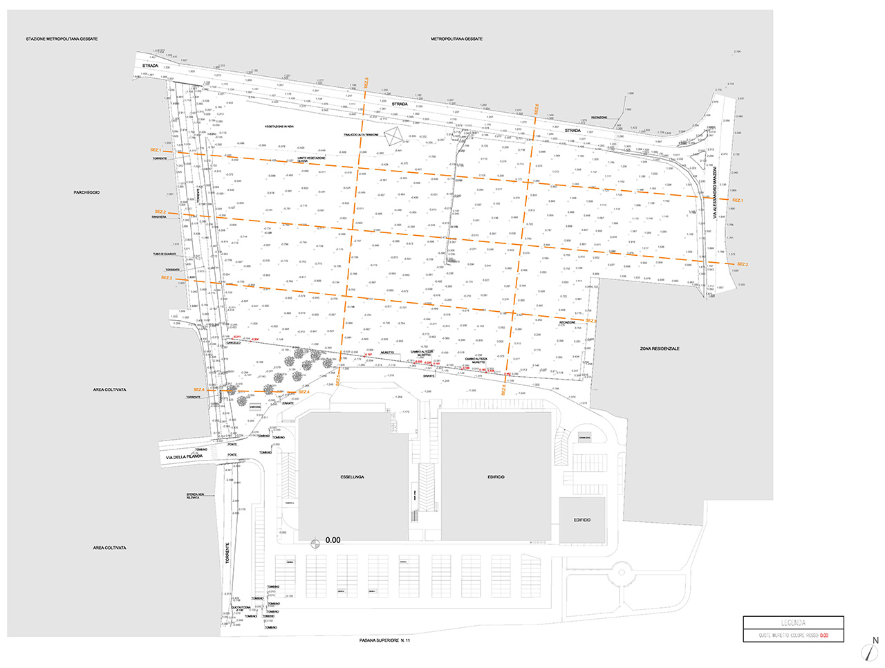
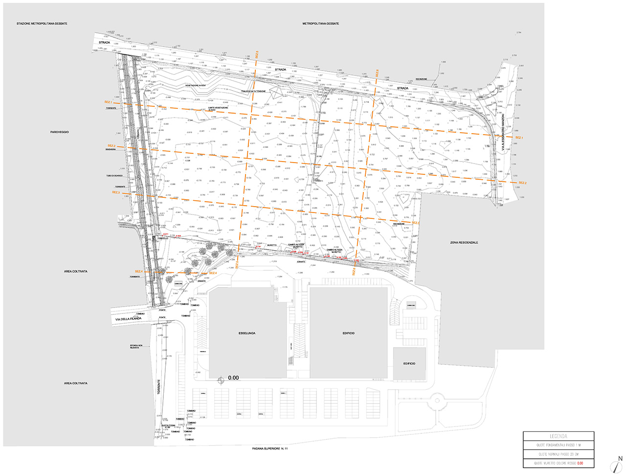
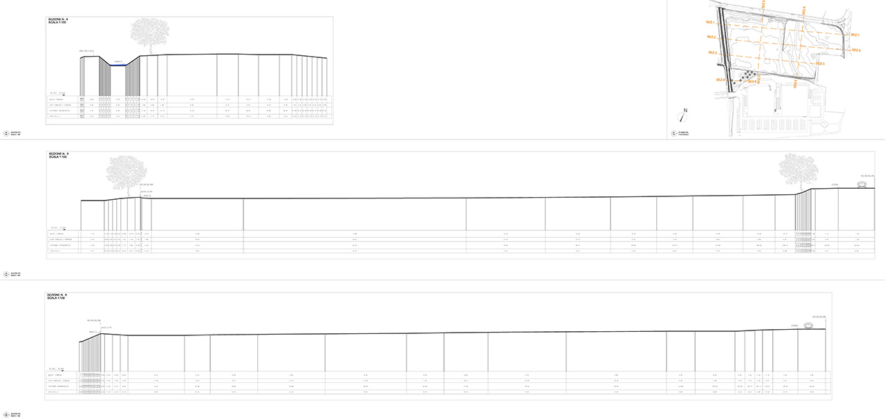
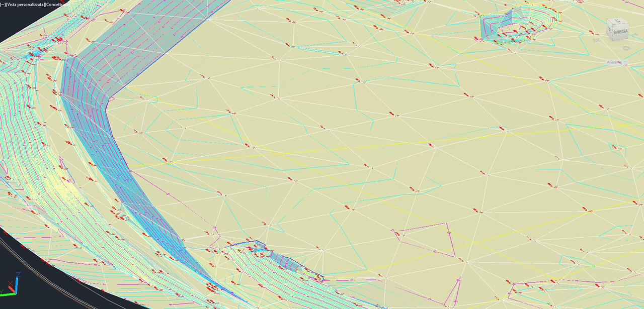
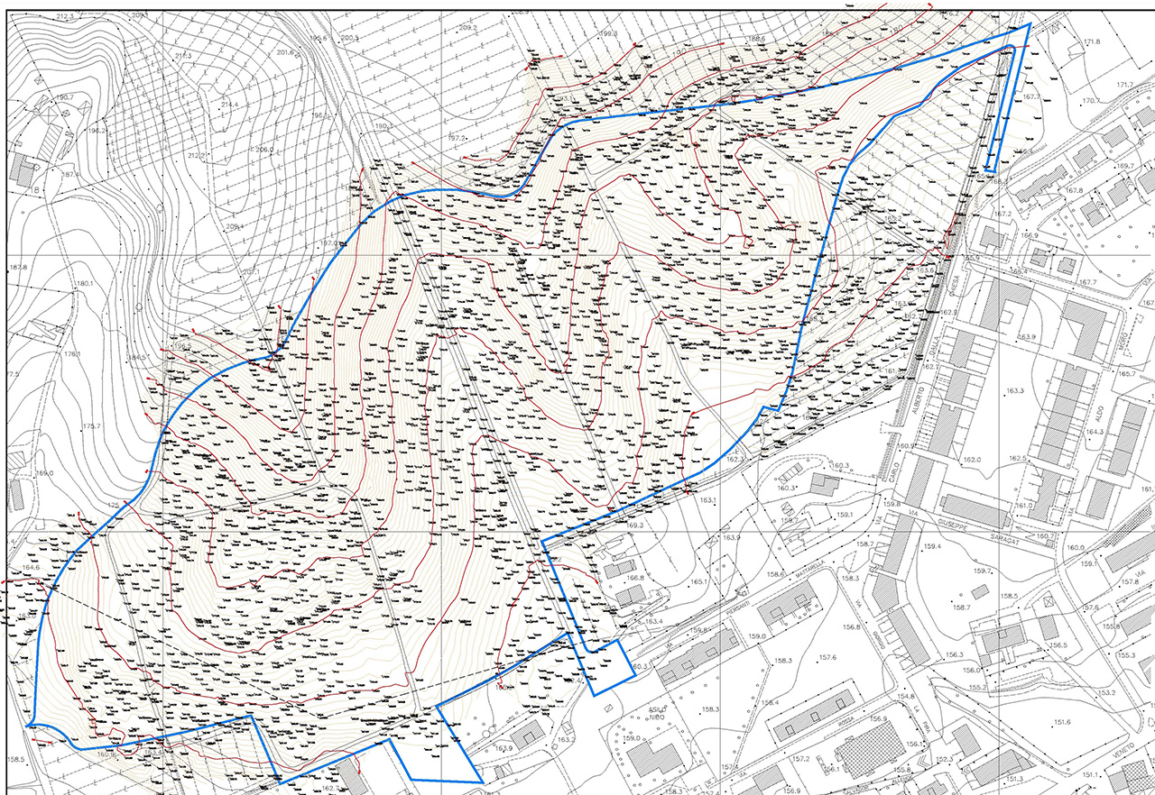
Topographic Surveys
Topographic surveys of land, roads, landslides, landfills etc.
GaiaGroup, performs surveying work using 3D Laser Scanning equipment, GPS and topographic instruments, offering services such as tracing, precision monitoring, cadastral registrations, GPS surveys, levelling, border definition, level and altimetric verification, DTM.